From Glacier National Park, I headed west to Coeur d'Alene to meet back up with the WINs.
 |
The scenic byway is 36 miles along the SE side of the Lake Coeur d'Alene.
|
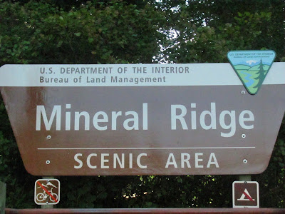 |
| Our first stop was Mineral Ridge for a 3.3 mile RT hike to the top of the ridge. |
 |
| Much of the hike was in dense pine forests. |
 |
| At least until we reached the top. |
 |
| It was a magnificent view of the lake. |
 |
| Although the 2010 census population for Harrison is only 210, on any day during the spring summer or fall, you will find 5x that number of people visiting daily. Being on the trail of the scenic byway, it is the perfect stop for a picnic, lunch or ice cream. |
 |
The original building, built in 1898, burnt in the 1917 fire. They rebuilt on the same spot and the church is still in use today. The stain glass is original to the church and over 80 years old. The only thing saved out of the original church from the fire was the piano, which is still in use today.
|
 |
| Carved in 2012, this Family of Eagles stands in the local park. |
 |
| It was a perfect spot to stop for lunch. |
 |
| The new section of the Mullan Road, running on the north side of the lake, was the route used when constructing I-90, a hundred plus years later. |
 |
| Along the scenic byway are many small lakes and ponds, called the Chain of Lakes, and a wildlife area. |
 |
| We saw this large herd of female elk with their young and were excited until we realized this was an elk farm and they were fenced in. |
 |
| There is also a bike trail, the Trail of the Coeur d'Alene, which runs 73 miles from Lake Coeur d'Alene to Mullen, ID. We set out to bike the first 26 miles. |
 |
| We started on the west side of the lake and quickly crossed over the Chacolet bridge to the east side. |
 |
This strange mechanical creature along the bike trail tried to get me. Oh no!
|
 |
| Harrison again became the perfect spot to stop for lunch, or ice cream. |
 |
The area is full of ospreys and their young.
|
 |
| The ride was great, running along side the lake or the river most of the way. It is a rail to trail, following the old Union Pacific railroad bed. The railroad was established to support the mining in the area and the ground was quite contaminated. The thick asphalt of the trail and the gravel barriers on the side of the trail serve as a permanent cap to isolate contaminants from the surrounding area. Even now there are signs along the trail reminding everyone of the contamination and to be sure and wash your hands and not to drink any water in the area. |


No comments:
Post a Comment